Groundwork Studio has been working with the American Heart Association and other community partners to promote updates to the City of Albuquerque’s Complete Street Ordinance. As part of this effort, we have worked with the American Heart Association’s camera crew to film some of the more uncomfortable and dangerous streets in Albuquerque and develop renderings of potential complete streets improvements. Intersections and streets were chosen based on MRCOG’s High Fatal and Injury Network and Road Diet Candidates maps, which are linked below. These maps show intersections and corridors that have higher than average pedestrian crash rates, higher traffic volumes, while still be eligible for a reduction or modification in the number of lanes.
MRMPO High Fatal and Injury Network

MRMPO Road Diet Candidates

The following renderings are shown here are intended to illustrate the concept of Complete Streets as they could be applied in Albuquerque, and are not meant to represent a proposed design for any specific location.
EXAMPLE 1: Indian School Boulevard at Louisiana (Uptown)
KEY ISSUES: higher than average pedestrian crash rate; high traffic volumes; high pedestrian activity; “porkchop” island and right turn lane; poor pavement conditions; faded bike lane markings; inconvenient and uncomfortable for pedestrians and bicyclists.


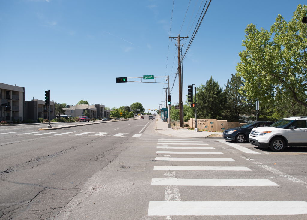
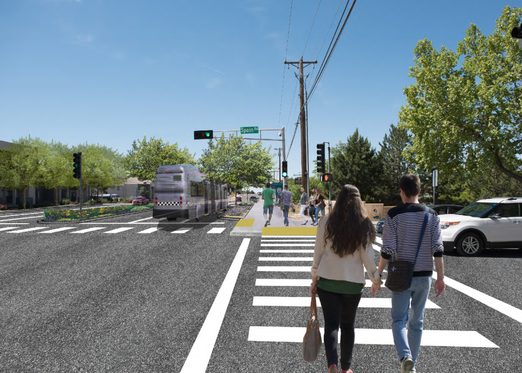
EXAMPLE 2: Wyoming Boulevard at Spain Road
KEY ISSUES: higher than average pedestrian crash rate; high traffic volumes; poor pavement conditions; major transit stops along street.
EXAMPLE 3: Lomas Boulevard at 6th Street (Downtown)
KEY ISSUES: higher than average pedestrian crash rate; high traffic volumes; high pedestrian activity; poor median and sidewalk conditions.


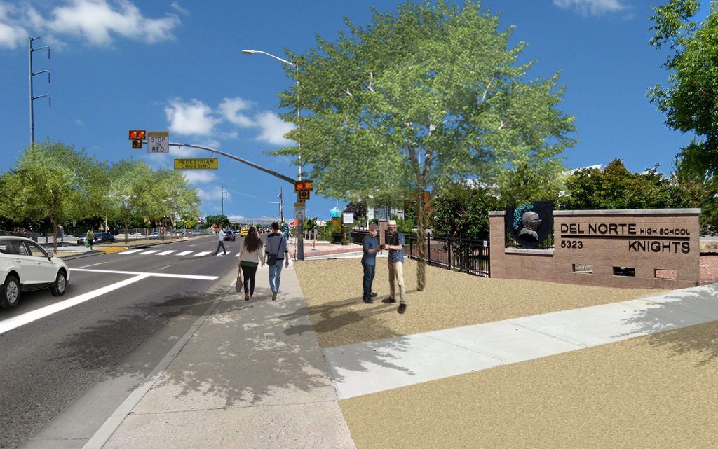
EXAMPLE 4: Montgomery Boulevard at Del Norte High School
KEY ISSUES: higher than average pedestrian crash rate; high traffic volumes; high pedestrian activity; outdated and non ADA-compliant pedestrian bridge.